Category: Raster
-
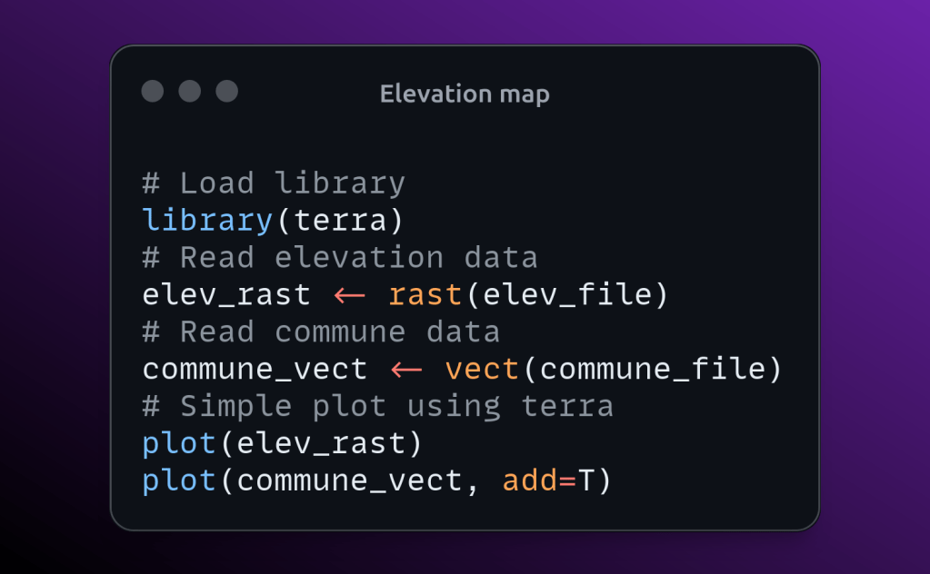
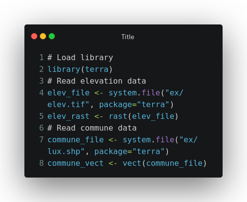
Create elevation map using R
Elevation data of the Luxemburg provided along with the terra package will be used for this exercise. We will use the data over Luxembourg from terra package for this exercise. terra package provides the elevation raster of Luxembourg and commune boundary for Luxembourg. Let’s read that data first. Simply plot…
-
How to do zonal stats in R?
Have you ever worked on extracting statics such mean, median, etc over raster for the each polygon feature of a vector file ? If you have done the same using desktop GIS application such as QGIS or ArcGIS or similar software, it will be very time consuming to do multiple…
-
How to read and write raster in R ?
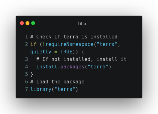
Install “terra” package In this article we will see how to read and write raster in R using the terra package. “terra” package replaced the “raster” package and also terra package can be used to read/write both vector and raster files. Also the terra package is faster than raster package.…
